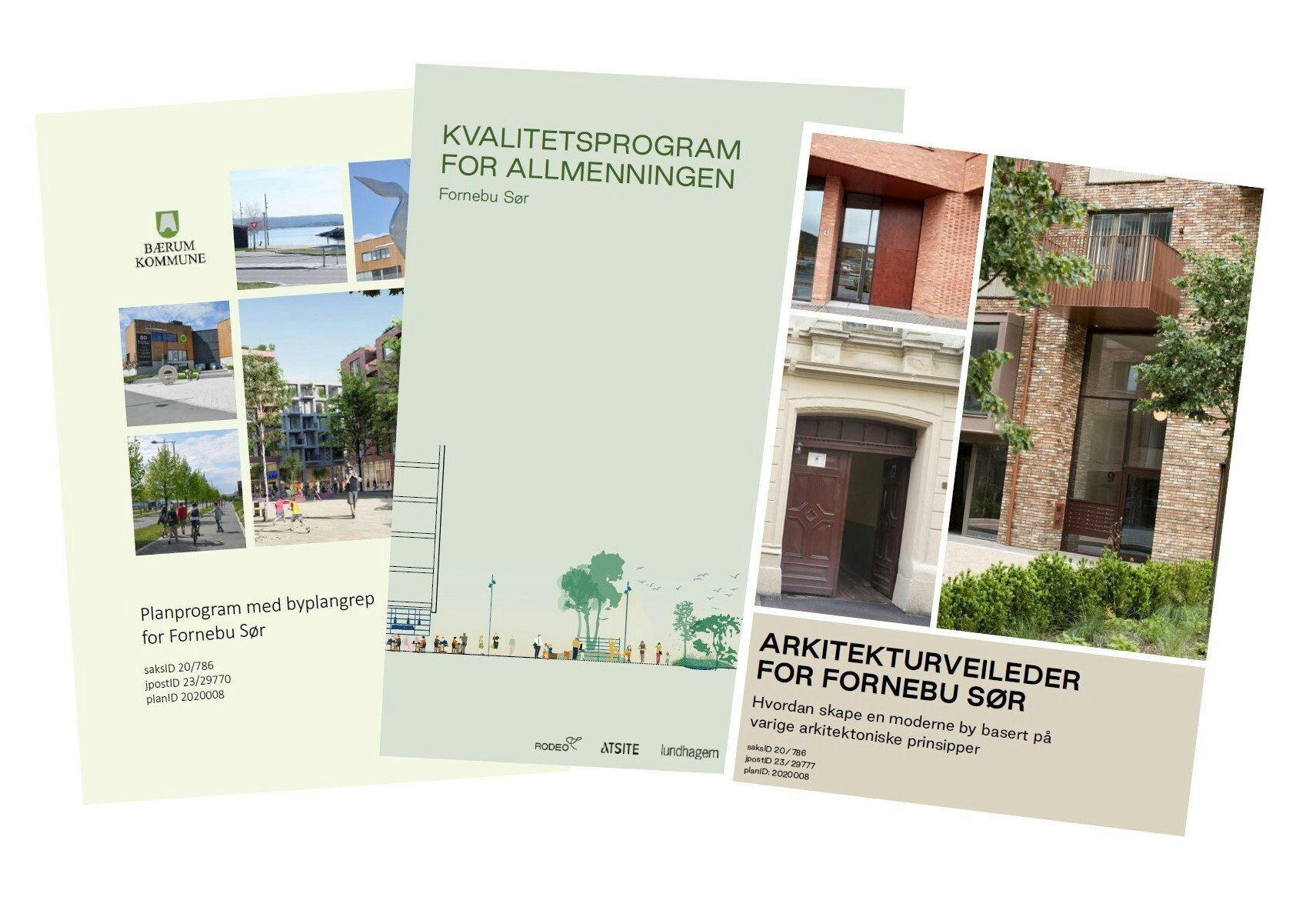
Fornebu Sør - Planprogram med byplangrep
Fornebu, Bærum
Fornebu Sør will become one of three central areas in Fornebu, surrounding the last stop of the future subway line Fornebubanen. The planning programme “Planprogram med byplangrep for Fornebu Sør” concretizes the ambitions in the zoning plan Kommunedelplan 3 for Fornebu (KDP3) and provides guidelines for detailed zoning and further development of the area.
Fornebu Sør lies partly above Fornebubanen's station and operating base. This affects the urban structure and limits the possibilities both above and below ground. As part of the planning program, a master plan has been developed, to ensure a holistic development trough recommendation for urban spatial structure, public space, green mobility, and sustainability goals.
The planning program has been prepared in collaboration between Bærum municipality and the landowners Selvaag Bolig, OBOS and KLP, with the consultants Rodeo arkitekter, Lundhagem, Atsite and Rambøll.
Lundhagem have been working with OBOS’ plots within the planning area since 2018. The plots are to be developed with a total utilization of approximately 67,000 m2 GIA mixed land use with mostly residential purpose. The volume is distributed on two sides of the planning area’s most important public space – Allmenningen, and creates an important context for the new local center Fornebu Sør.